

The Green River Municipal Watershed
Our mission is to provide clean, reliable water while ecologically benefitting our region. To do that, we follow our Watershed Strategic Plan, which shows how we will prioritize our watershed work from 2022-2027.
Water for today, water for the future: How we use the Watershed
The Green River Watershed has been Tacoma Water’s primary water supply since 1913. The watershed is located on the west flank of the Cascade Mountains between Chinook and Snoqualmie Passes and covers about 148,000 acres of forestland. Rain and snow falling on the watershed soaks into the ground and gets filtered through natural processes before flowing into small creeks and streams, eventually reaching the Green River.
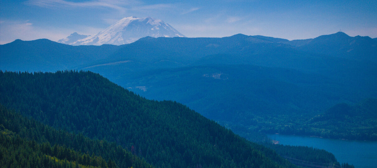
A snow-covered Mount Rainier stands in the background behind forested hills and the Green River Watershed, which has served the greater Tacoma area with water since 1913.
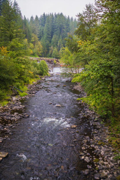
At the western end of the watershed is the Tacoma Headworks Diversion Dam, located about three miles upstream of Kanaskat-Palmer State Park in King County. This is where we divert some of the water for our use while making sure there is enough water available for fish downstream.
We operate seven wells within the watershed along the North Fork of the Green River. These wells were formerly used to meet Tacoma’s needs when the water in the river was too cloudy. However, once we constructed the Green River Filtration Facility in 2015, we can now blend water from the North Fork Wells with river water to reduce our filtration costs.
This watershed is also the source of water for a 2002 regional partnership with the City of Kent, the Covington Water District, the Lakehaven Water, and Sewer District and Tacoma Water. Called the Regional Water Supply System, this partnership supplies up to 65 million gallons per day to Tacoma Water and our project partners.
Among other things, our watershed management is also guided by the Green River Watershed Management Plan and Wellhead Protection Program. These help us aggressively protect our community’s water supply.
Learn about the Watershed
-
A variety of public and private entities own the lands in the municipal watershed. This includes Tacoma Water, which owns approximately 12% of the land. Our land is strategically located around the Green River, major tributaries, and mountain lakes to protect water quality and preserve fish and wildlife habitat.
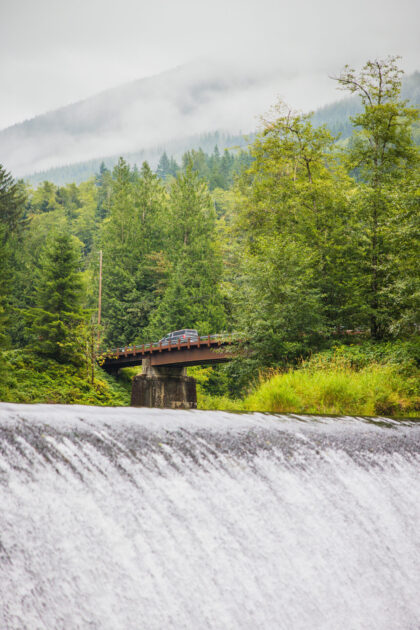
At this stage, this water will typically show up treated in your home or business about 1-2 days after it flows here in the Watershed.
We have agreements with federal, state, tribal and private landowners, and utilities to limit watershed access. This includes carefully controlling activities in the area such as recreation, road maintenance, and logging. These partnerships significantly protect against contamination and help keep the supply pure and clean.
The rugged and remote terrain of the watershed also protects the water quality by minimizing disruption and outside contamination. Gates and guards further limit public and commercial access to the watershed. We evaluate water quality throughout the treatment process, including taking weekly samples from tributary streams that feed the Green River. This helps us anticipate problems and discover issues before they reach our treatment facilities.
-
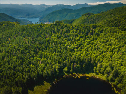
A large part of healthy forests is making sure we follow the Habitat Conservation Plan, which helps us minimize environmental impacts to the area.
There is a direct connection between healthy forests and clean water. When rain and snow fall on healthy forests, the water seeps into the soil, goes through a natural filtering process and then slowly releases into stream channels.
However, precipitation that falls on bare earth and hardened soils causes immediate runoff and erosion, depositing too much sediment and debris into streams. This damages fish habitat. Properly managing our forest lands delivers high-quality water to your faucet and protects sensitive fish and wildlife species and their habitats.
-
Climate change impacts make forest and watershed management more challenging. To address this, we reduce the number of forest roads, carefully manage and invest in forest health and soil management, and look for ways to keep improving our environmental stewardship.
-
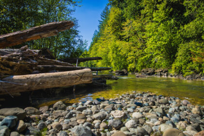
Logs placed here help create protective pocket for fish as they travel through the Watershed.
Our Habitat Conservation Plan describes the steps we need to take to minimize (mitigate) any environmental impacts that come from creating and managing our water supply system.
We call these impacts “takes” and it’s similar to someone impacting a piece of the environment while following a detailed plan to restore that part of the environment another way. This keeps us accountable and protects the health of our environment. Basically, a “take” is any activity that harms a threatened or endangered species.
Along with the Habitat Conservation Plan, we have a 50-year “take” permit that makes sure we operate properly and follow the Endangered Species Act as we draw water from the Green River.
As we developed this plan, we held public information meeting and hearings with the U.S. Fish and Wildlife Services and the National Marine Fisheries Service. The two federal agencies received 73 comment letters on the documents from individuals, non-governmental organizations, federal, state and local governments, and tribes.
-
The Habitat Conservation Plan benefits fish, wildlife, and water users in the Central Puget Sound region. More specifically, the plan:
- Provides fish passage into and out of the upper Green River Watershed. Provides fish with enhanced flows (including Chinook salmon) at critical times in the Green River downstream of Tacoma Water’s diversion facilities.
- Serves as an umbrella over multiple agreements on river operations, water supply operations, and forest and land management. This helps us follow a consistent approach to fish and wildlife protection.
- Ensures that Tacoma Water can continue to supply water to customers in Tacoma and Pierce and south King counties in an environmentally responsible manner. (We provide water to approximately 1 million people throughout Pierce and King Counties. This includes over 350,000 directly served, over 313,000 served through wholesale connections, and over 260,000 served in partner areas.)