

Habitat Assessments
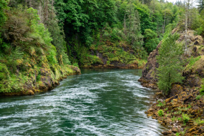 Tacoma Power conducts habitat assessments to better understand conditions in the upper Cowlitz River basin and inform future habitat protection, restoration and salmon recovery efforts.
-
Tacoma Power developed a two-dimensional hydrodynamic model of the Cowlitz River mainstem in the Packwood-Randle area. The model evaluates water depth and velocity under five different flow conditions and supports analysis of habitat suitability and complexity.
Depth map books
Velocity map books
-
A 2019 geomorphic assessment evaluated changes over time and potential future conditions along the Cowlitz and Cispus River mainstems upstream of Cowlitz Falls.
-
A topo-bathymetric LiDAR survey collected detailed elevation data along the upper Cowlitz River from approximately Packwood downstream to Lake Scanewa to support habitat assessment and planning.
View the LiDAR Technical Data Report
-
A 2014 assessment identified river reaches that may be suitable for habitat protection through acquisition. The assessment focused on non-federal lands upstream of Mayfield Dam in the Tilton, upper Cowlitz and Cispus river basins.
View the Reach Characterization Assessment
-
The Lower Columbia Fish Recovery Board, with support from Tacoma Power, developed an Upper Cowlitz and Cispus Habitat Strategy focused on areas upstream of Cowlitz Falls. The strategy identifies more than 100 potential habitat restoration and protection actions to support recovery of listed salmon and steelhead.
Need spatial data? Contact Tacoma Power for available spatial data associated with these assessments or questions about use of the hydrodynamic model.